KCET Artbound • A Guide to CURRENT:LA Water
Source: A Guide to CURRENT:LA Water KCET Artbound, Carren Jao, July 16, 2016
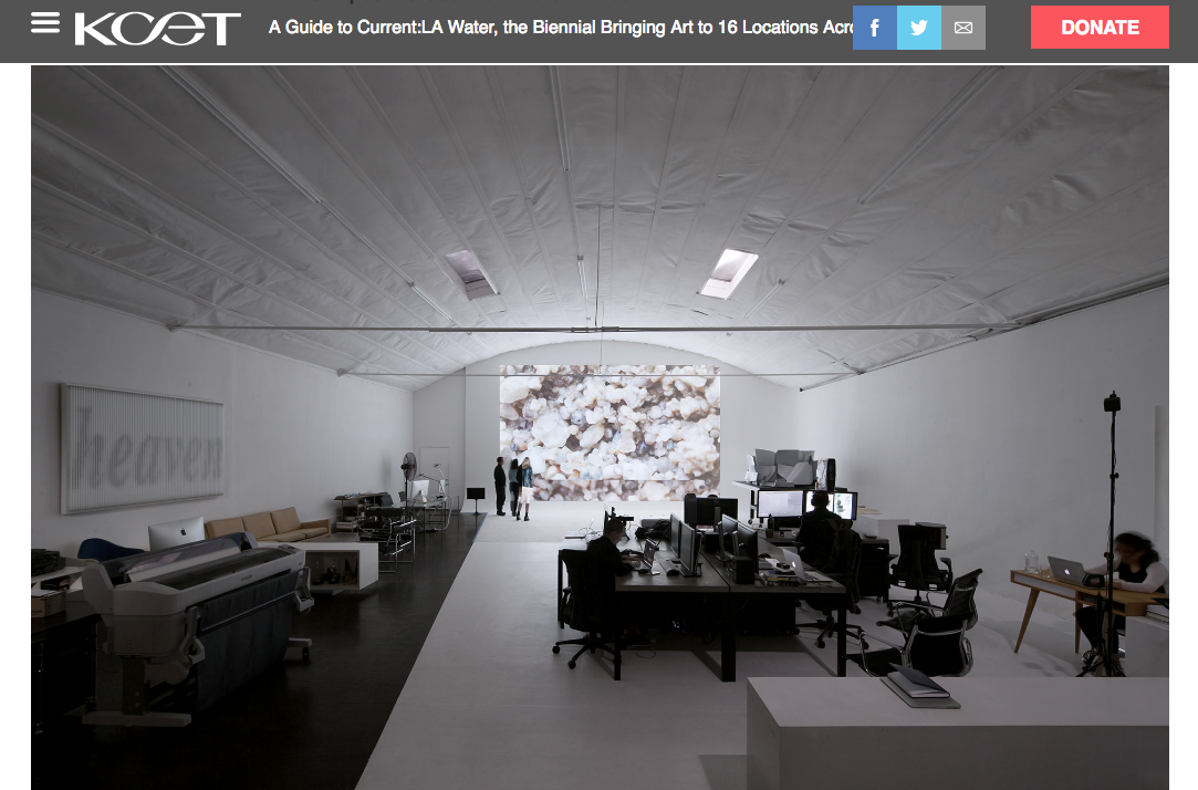
“UnderLA” by Refik Anadol and Peggy Weil at 1st Street Bridge, between Santa Fe Avenue and Mission Road, downtown Los Angeles, and at the mouth of the L.A. River, 6883 Owensmouth Avenue, Canoga Park.
Though it doesn’t flow, groundwater is very much a part of the city’s water system. Artist Peggy Weil and Refik Anadol finally let Angelenos see deep into the earth by projecting arresting images of porous rock capable of holding and transmitting water — L.A.’s aquifers — onto the concrete banks of the Los Angeles River.
The artist team worked with USGS geologists to obtain data and images of ground slices below an Angeleno’s feet up to 1,400 feet below the ground. The projection is a visual walk through time, says Weil. At 1,400 feet, the ground holds marks of events that can be traces as far back as 2.5 million years ago. The images are interspersed with data visualization that shows the rise and fall of water levels at different points in time. Its apices and nadirs are a reminder of Los Angeles’ continual struggle for hydration.